The subsurface contrast between Kilkenny's medieval centre and the newer retail parks on the outskirts is striking. Under the shadow of the Castle, alluvial silts from the River Nore overlie karstic limestone, while the commercial zones west of the Ring Road sit on glacial tills that can vary in thickness by over 12 metres across a single site. This variability makes guessing the depth to bedrock a costly mistake. Seismic tomography provides a continuous velocity profile that distinguishes loose overburden from competent rock without a single borehole. On recent projects near the Hebron Industrial Estate, the refraction method mapped a buried channel feature in under four hours, a detail that would have been missed by widely spaced intrusive probes. For deeper targets, reflection tomography images horizons beyond 50 metres, which is critical where the limestone contains solution cavities common to the Carlow–Kilkenny border region. Our approach helps engineers in Kilkenny avoid surprises during piling or basement excavation by delivering a clear picture of what lies beneath the flagstone streets.
A single seismic refraction line across a Kilkenny site can map bedrock topography with vertical resolution under 0.5 metres, replacing half a dozen trial pits.
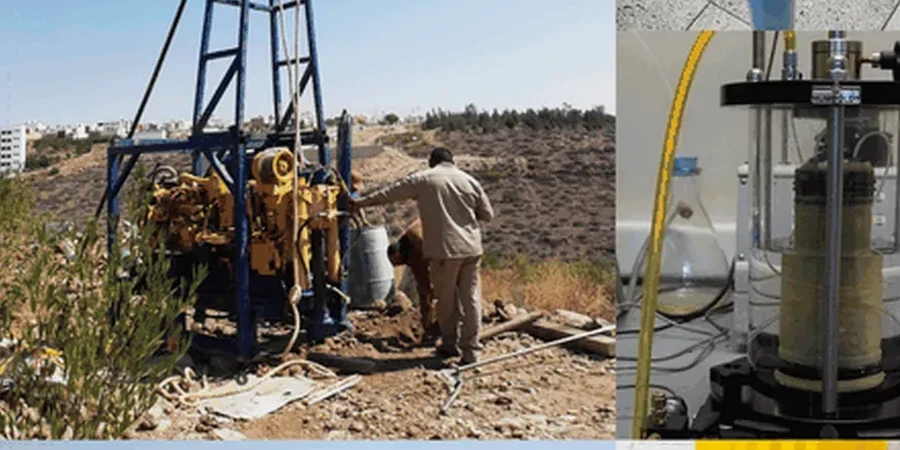
Local geotechnical context
I.S. EN 1997-2:2007 requires ground investigation to provide a continuous model of the subsurface where conditions are variable, and Kilkenny's karst limestone geology triggers this clause on nearly every project. The principal risk is encountering an undocumented cavity or deeply weathered fault zone beneath a proposed foundation. A conventional site investigation with three boreholes on a half-acre plot will almost certainly miss a 2-metre-wide dissolution feature, but seismic tomography, with its dense spatial sampling, reveals velocity anomalies that correspond to voids or collapsed material. On a 2023 project off the Castlecomer Road, reflection data identified a low-velocity zone at 18 metres depth that later drilling confirmed as a mud-filled cavern. Designing a pad foundation over such a feature without prior knowledge invites differential settlement and, in the worst case, structural distress within the first five years. The cost of remediation after construction dwarfs the investment in a proper geophysical survey during the design phase.
Frequently asked questions
What is the typical cost of a seismic refraction survey in Kilkenny?
For a standard 115-metre refraction line with 24 geophones and tomographic processing, budgets in the Kilkenny area generally fall between €2,530 and €5,280. The final figure depends on site access, the number of shots required, and whether shear-wave acquisition is added to the scope.
How deep can seismic refraction see in the limestone around Kilkenny?
With a 115-metre spread length, P-wave refraction reliably images to approximately 25–35 metres in competent limestone. Depth penetration is a function of array length and velocity contrast; where the rock is highly fractured or karstified, resolution may degrade below 30 metres, at which point we recommend reflection methods.
Can seismic tomography detect cavities under a proposed building?
Refraction tomography detects cavities indirectly as low-velocity anomalies in the velocity cross-section. The method works well for air-filled or mud-filled voids larger than roughly one-quarter of the geophone spacing. For higher-resolution cavity detection, we often pair the survey with electrical resistivity profiling.
What site conditions in Kilkenny affect data quality?
Water-saturated gravels along the River Nore corridor attenuate high frequencies and can reduce penetration depth. Urban noise from traffic on the N10 and N77 also introduces background vibration. We mitigate these by scheduling surveys during low-traffic hours and using higher-energy sources where necessary.